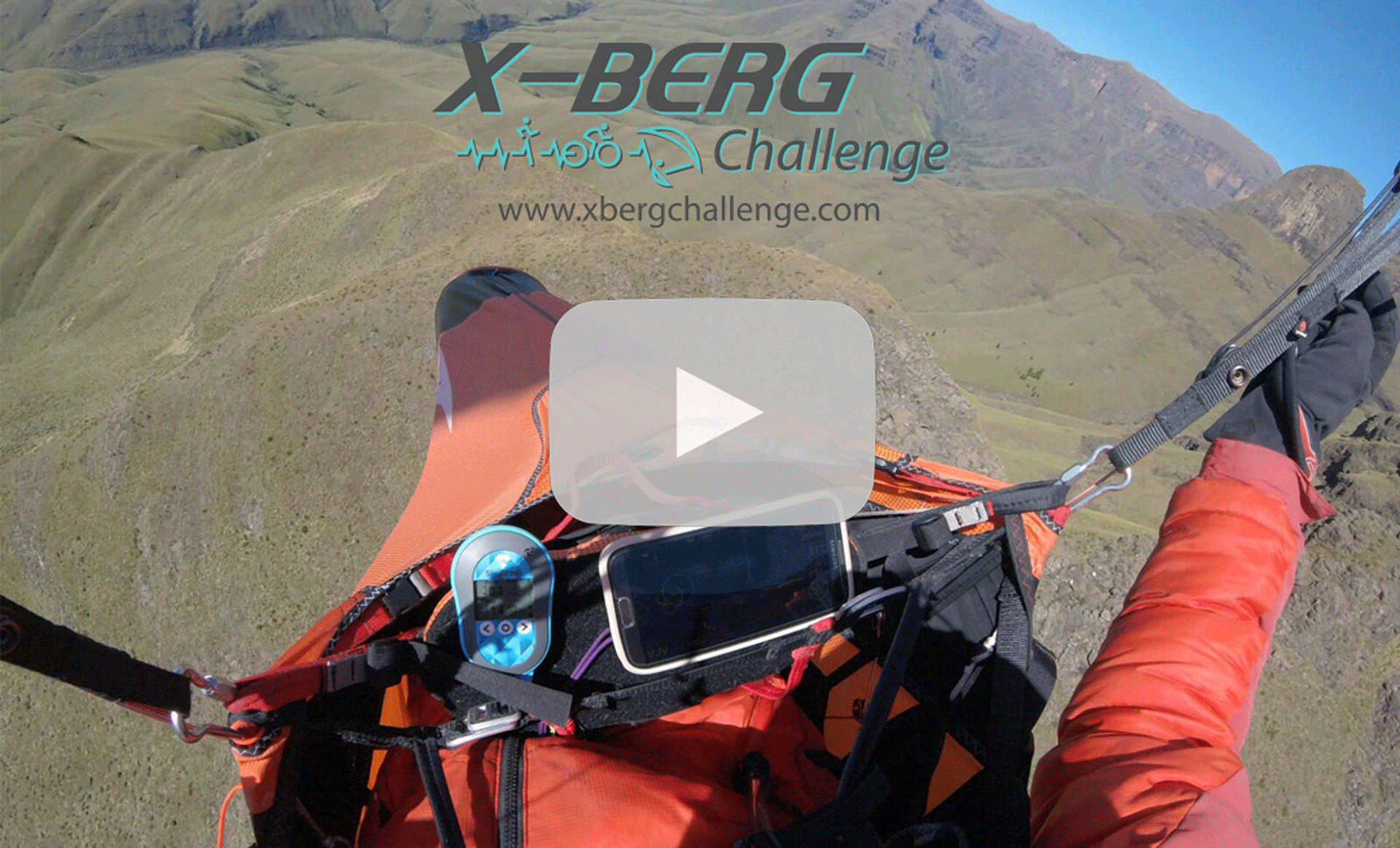
Paragliding


The beautiful uKhahlamba-Drakensberg mountain range is home to the annual X-Berg Challenge. Paragliders have dared to hike & fly this majestic terrain with success. You get to decide on your own route between official turn points. You may either go around or over hills, take the scenic route or brave a valley crossing. The aim is to complete the course in the shortest possible time.
What makes this event unique, is that not only will paragliders test their riding skills against other pilots, but also against trail runners and mountain bikers. The constantly changing dynamics of the mountains keep the race exciting. From weather conditions controlling whether paragliders fly or are forced to continue on foot, to navigational skills determining whether competitors get lost or overtake you. This is a hike & fly competition for the most adventurous pilots that love the wild outdoors. Perhaps even enough to sleep under the stars to get to the finish fastest!
This is Africa's most adventurous challenge!
We will provide you with suggested routes (GPS & GPX files) and assist with your route planning. Contact us for details.
Only online entries. No entries on the day.
Extreme 4-day race 04-09 Oct 2022
Straight line distance from Turn Point to Turn Point = 137 km (this is as the crow flies)
If Hiking you can expect to cover 160 km (this depends on your route finding)
Elevation gain 7,200 m Hiking
04 Oct 2022 – Report for race & briefing
05, 06 & 07 Oct 2022 - Race days
08 Oct 2022 - Finish & prize giving dinner
09 Oct 2022 - Breakfast meetup
Mini 2-day race 06-09 Oct 2022
Straight line distance from Turn Point to Turn Point = 60 km (this is as the crow flies)
If Hiking you can expect to cover about 75 km (this depends on your route finding)
Elevation gain 3,000 m Hiking
06 Oct 2022 – Report for race & briefing
07 Oct 2022 - Race day
08 Oct 2022 - Finish & prize giving dinner
09 Oct 2022 - Breakfast meetup